Water Walkabout
11 - 15 July 2022
 It's an "absolutely gorgeous recreational area (...) hundreds of crystal-clear turquoise pools and waterfalls"...

A map should appear here soon...
𖣫 2300mAll elevation gains added up were 2300m
18-32℃
► Jete
► Otívar
► Río Verde
◮ El Cielo (1.510m)
► Nerja-Maro
Source of the map:
OpenStreetMaps

We planned to walk from 26 June to 3 July from Estepona to Ronda,but we changed our plan and walked more close to our home. "The Junta de los Rios park is 18 Km inland from the coastal town of Almuñécar. It is an absolutely gorgeous recreational area where the two rivers (Rio Verde and Rio Negro) come together to form hundreds of crystal-clear turquoise pools and waterfalls" costatropical.net/almunecar/junta-de-los-rios.php
We walked from Almuñécar in the river bed of the Río Verde upwards and passed the villages Jete and Otívar. In Jete we went shopping the last time, afterwards we hiked 4 days without shopping facility, passed the described Junta de los Rios, walked up to about 1.600m and then downwards to Nerja-Maro.
Preparation

We dry sprouted sunflower seeds, buckwheat and bananas in the sun. Sometimes we have an abundance of bananas in the garden.

Murielle's "pancake": mixed bananas and carob powder on baking paper, drying in the sun. Right: sundried figs (brevas) from our garden
Monday, 11 July 2022

We're in the village Jete. There is a water source. I'm not begging here, I just want to show you the sweet butia fruits I found under a palm tree.

50m further, we find an abundance of big tasty avocados on the ground. The most are rotten, some are very good.

The avocados leave marks on your face.

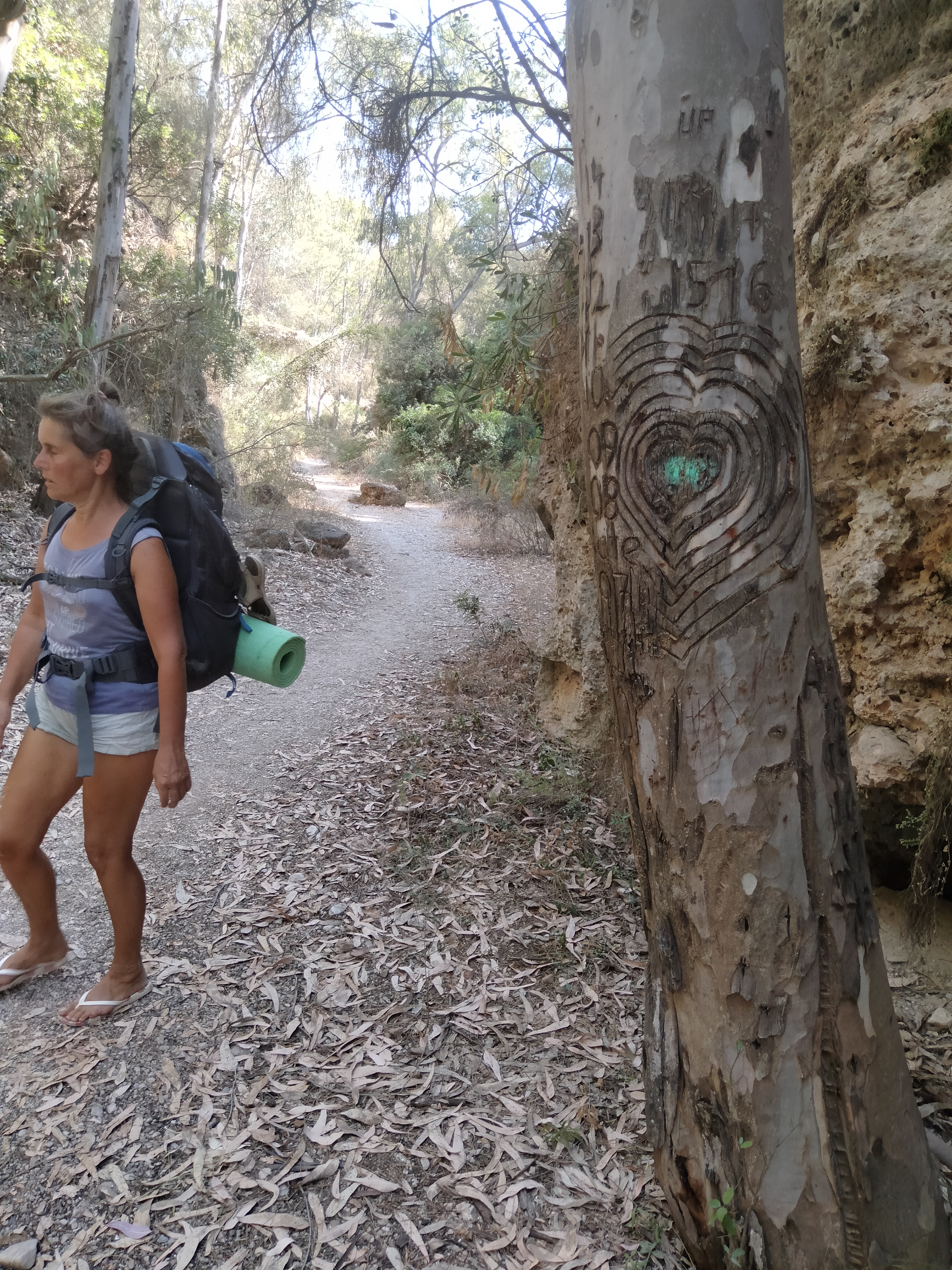
Meenhard, Hope, Krista, Andro, Murielle. Mar, the sixt hiker of our group doesn't want to be on a photo.

The Río Verde is dry from Almuñécar 8km long, because the farmers use the water. It's not so beautiful, but almost free of traffic and easy to walk.

I'm a shopping muffle, so I still use a carton instead of an isolation mat. In the warm season I get along well with it.

Here the river bed has no side walls anymore. It's hot of course...

...but already in the first day we get a bathing opportunity with a big shower.
Tuesday

We sleep under an avocado tree close to Otívar.

Sleeping place of Krista and Hope. Nobody needs to buy anything in Otívar, thus we can start early, to hike in the cool morning time.

Often the only way is through the water. We have to take care not to fall, and Andro is a bit worried about his sandals. But in the same time we enjoy it.

There are also nice paths along the river. In this area we don't see people, it's very secluded.

We find a swing over the water.

Hope found a ball in the river and plays with it in the water...
...and on the road.

We get to a big wall. We climb the first level easily...

... but the second level is challenging. We decide to get up on this side - and manage it,

Sometimes the river bed is dry. The water flows underground here.

First suspension bridge. In this area (Junta de los Ríos) there are more people.

There are some viewing platforms.

The paths get a little more difficult.
The river is wonderful, the water is clear. We bathe often.

Most of us missed this cave. Only Andro and Mar were in and saw many stalagmites.

Second suspension bridge
Wednesday

We drink the water from the river, as there is no house and no agriculture.

Sleeping place, 5m from the river

Hope is sick, she has tonsillitis. She is unable to walk up to the street. But Krista and Hope find friendjy people with a car. They bring them ro the emergency of Otívar.

Now we are only four. It is pleasant to swim in this reservoir.

In the mountains we are not sure where we will find the last water. Here we are happy at first glance, but take a close look!
Thursday

I sleep here in the gras on my carton, Murielle on the side of the road. There's no car passing all the night.

100m upwards, there's the Cueva de la Colica. There's plenty of space inside, but the goat shit is a bit smelling.

According to my internet research, there was still a water source here at the Cueva de la Colica in 2013, but we can't find any water

We go back 500m. There's a stream here, we fill everything we have with water...

but on the further way we find several streams...

...and a source. We could bath here. But we prefer to go further.

We're getting higher and higher. The landscape is still green.
Panoramic view at 36.84094° N, 3.79141° W
Panoramic view, near Nava Chica (here about 1700m)

We reach the summit of El Cielo (1510m)!

Looking back, we came over this ridge.

On this hike I walked 45 km barefoot. I only wore sandals for the first 5km and the last 10km.

There isn't much shade on the mountain top. Murielle has found a shady spot.

We're going down. Murielle is exhausted. We're going to sleep here on the path. We are thirsty and have run out of water. I go down without luggage and bring water.
Friday

The last water source of our Walkabout. First time I took here water at night. Now we're here again.
">And we see: there is a bee nest near the water outlet! By moving slowly, I manage to refill the bottles. Bees are inactive at night.

We split, Andro and Mar slept here in the barbecue area "El Pinarillo".

At the last meal we only have a small amount of seeds left. We sprouted sunflower seeds and buckwheat at home and then dried them in the sun. Delicious!
Murielle and I walk through the beautiful river bed of the Barranco de Maro.

On the walkabout, we hardly found any fruit to eat. The blackberries were unripe. Here, close to Nerja, there are ripe ones.

Comments